120 Acre Farm
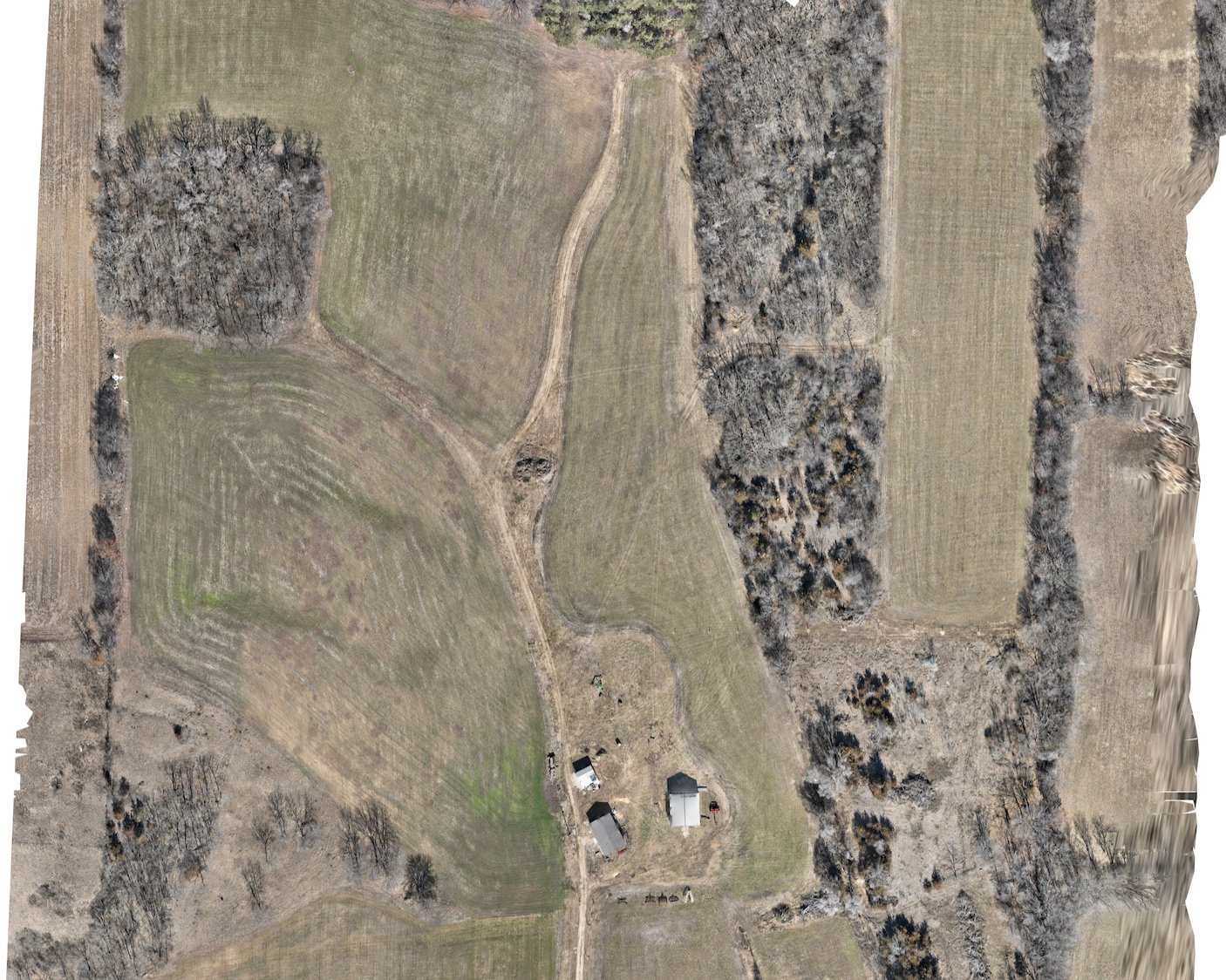
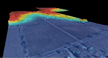
We recently had the privilege of working with a forward-thinking farmer to optimize the management of their sprawling 120-acre farm. Utilizing our advanced drone technology, we conducted a comprehensive aerial survey to create a digital surface model and precise contours of the land.
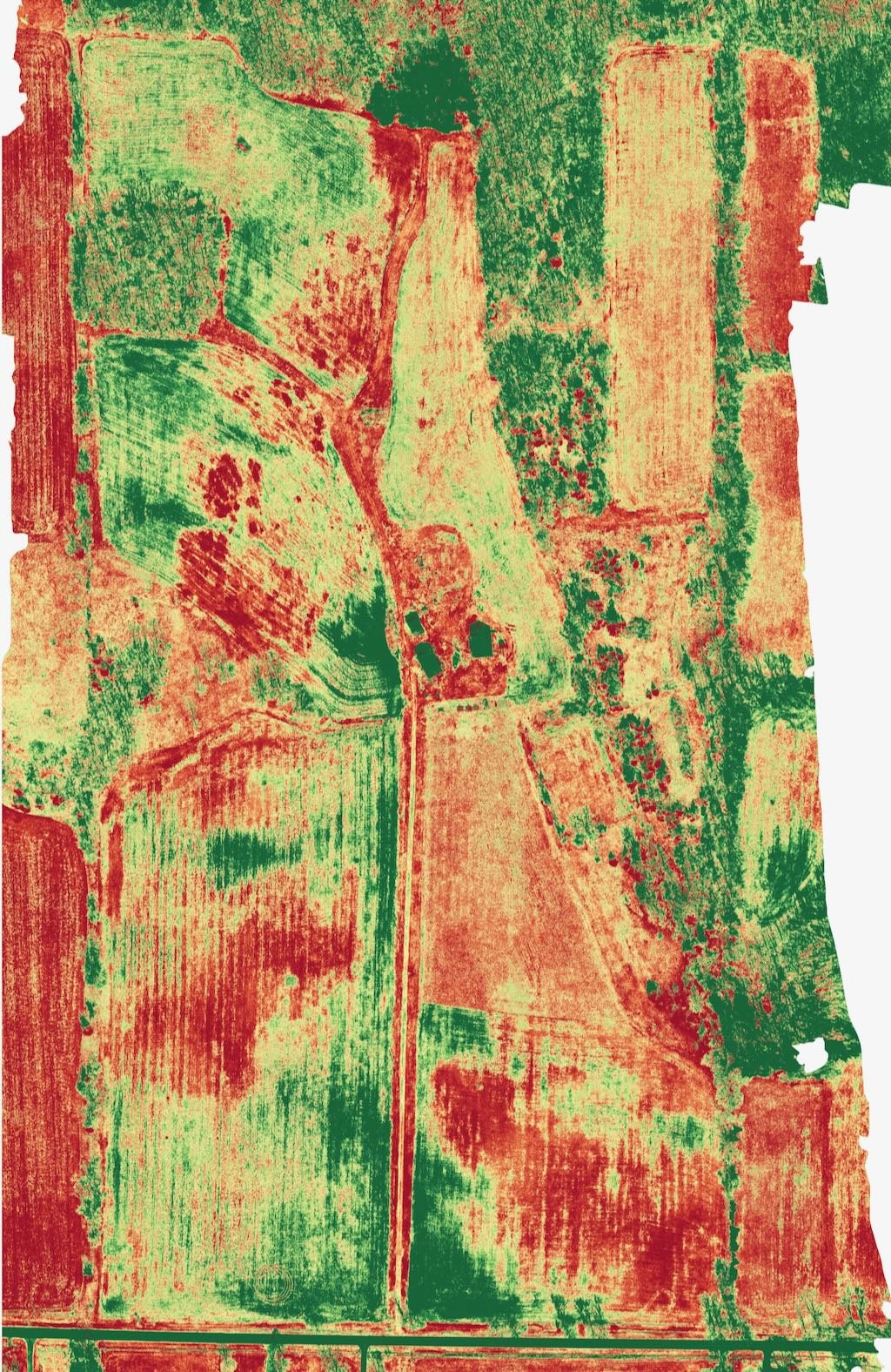
Our drones captured high-resolution imagery of the farm from above, allowing us to generate detailed maps that provided invaluable insights into the topography, elevation variations, and drainage patterns of the land. This data empowered the farmer to make informed decisions and implement targeted strategies to enhance productivity and efficiency on their farm.
With the digital surface model and contours in hand, the farmer was able to:
Identify optimal areas for crop planting, irrigation, and drainage, leading to improved crop yields and reduced water usage.
Implement precision farming techniques, such as variable rate application of fertilizers and pesticides, tailored to the specific needs of different areas of the farm.
Enhance land management practices by identifying erosion-prone areas and implementing soil conservation measures to protect valuable soil resources.
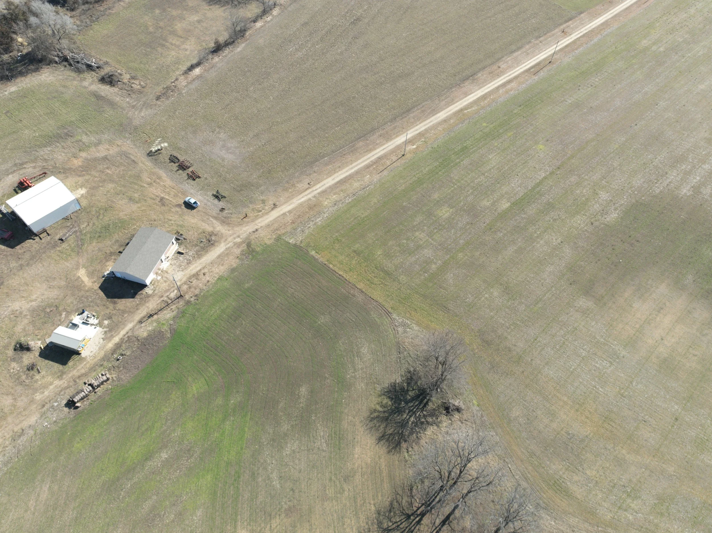
Plan and optimize farm infrastructure, such as roads, fences, and buildings, to maximize operational efficiency and minimize costs.
Overall, our aerial survey provided the farmer with the critical insights needed to optimize their farm's productivity, sustainability, and profitability. By leveraging the power of drone technology, Orbis UAV is proud to support farmers in unlocking the full potential of their land and resources.
Explore the photos below to see the transformation of this 120-acre farm and discover how our aerial solutions can benefit your agricultural operations.